GPS Map: Live Earth Camera 3D icon

GPS Map: Live Earth Camera 3D

Phuong Hong Phat Kien Giang
★ 3.0 (506 ratings)
⬇ 100,000+ downloads
Est. actual: 240,538
Free
Released: Jan 13, 2026
No in-app purchases
Contains ads
Rated: Everyone

Signals

4 this week · 2 positive · 1 warning All of this week's signals →
  • 📈Last 7 days +45 installs — 15% faster than the week before (+39) · 4/day since Oct 5
  • 🏆Among Maps & Navigation apps top 22% by installs gained this week (179 peers growing)
  • ⭐Rating steady at ★ 3.00 since Oct 5
  • 🛠Updates dormant · updated 220 days ago
Installs since launch
0 120K 241K 241K Jan 13, 2026 today
+155 installs · +10 ratings since Oct 5
Update history
1.0.3 Apr 6, 2026 · seen Oct 5, 2026
Only the current version so far — new entries appear as the app ships updates.
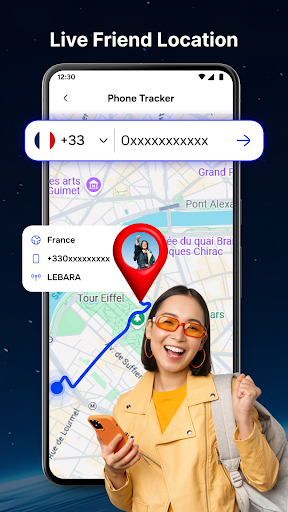
GPS Map: Live Earth Camera 3D screenshotGPS Map: Live Earth Camera 3D screenshotGPS Map: Live Earth Camera 3D screenshotGPS Map: Live Earth Camera 3D screenshotGPS Map: Live Earth Camera 3D screenshotGPS Map: Live Earth Camera 3D screenshotGPS Map: Live Earth Camera 3D screenshot

GPS Map: Live Earth Camera 3D is a maps & navigation app by Phuong Hong Phat Kien Giang with 100,000+ downloads (about 241K estimated). +45 installs in the last 7 days. Rated 3.0 from 506 ratings. Released Jan 13, 2026. Install growth, rank history, SDKs and ad networks.

From the store listing: “GPS Map: Live Earth Camera is a location exploration and navigation app designed to help users view places around the world using GPS maps, street view, and live earth camera sources. The app combines map navigation with visual exploration, allowing users to discover locations, famous places, and real-world views in…”